A special issue of Remote Sensing (ISSN 2072-4292). This special issue belongs to the section “Remote Sensing Image Processing“.
Deadline for manuscript submissions: 30 June 2021.
Dear Colleagues,
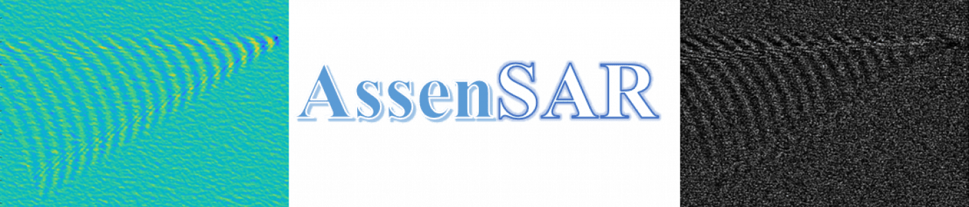
The accurate characterization of sea surface conditions is not only important in isolation but also in the detection and characterization of ship wakes. These provide key information for tracking vessels and are also useful in classifying the characteristics of wake-generating vessels. Until recently, one of the main factors hampering research into sea surface modelling was the lack of data of sufficiently high resolution (pixels need to be typically smaller than few meters) and accuracy. Remote-sensing technologies have, however, shown remarkable progress in recent years, and the availability of remotely sensed data of the Earth’s and the sea surfaces is continuously growing. Several European missions (e.g., the Italian COSMO/SkyMed; the German TerraSAR-X; or, more recently, the UK NovaSAR) have developed a new generation of satellites exploiting synthetic aperture radar (SAR) to provide spatial resolutions previously unavailable from space-borne remote sensing. This represents a milestone for ocean-monitoring capabilities but also requires the development of novel image modelling, analysis, and processing techniques, that are able to cope with this new generation of data and to optimally exploit them for information-extraction purposes.
This Special Issue intends to publish both high-quality review papers on existing methodologies for the characterization, simulation, and analysis of SAR images of the sea surface, as well as original research contributions describing new developments of such methodologies. Contributing authors are encouraged to address issues related to the following topics (non-exclusively) in the context of SAR remote sensing of the sea and ocean’s surface:
- Hydrodynamical modelling of the sea surface and SAR image formation;
- Statistical modelling of SAR images of the sea surface;
- Methods for simulating SAR images of the sea surface;
- Inverse problems in SAR imaging of the sea surface: autofocussing, despeckling, and super-resolution;
- Machine learning for the analysis of the sea surface;
- Ship detection in SAR imagery;
- Ship-wake detection and quantification;
- Fusion of information from SAR images and from sensors and data sources non-peculiar to remote sensing (e.g., automatic identification system (AIS), meteorological, etc.).
Prof. Alin Achim
Guest Editor
For details please click!